
Find Masontown Property Records
Start with the Preston County Assessor. Match a Masontown street or owner clue to its district, map, parcel number, and legal description. The County Clerk holds the deed or plat. The Sheriff handles tax-ticket status. For town permits, zoning, and ordinances, the Masontown office is the right stop, though it publishes no searchable permit register. Historic roads, churches, stores, and railroad references may surface in older records where a modern street label does not.
- Search the Assessor by the current street, owner, or parcel components.
- Compare the result’s situs and legal description with the town-lot or rural tract clue.
- Search the Clerk’s deed and plat index with the party name and tract description.
- Use Sheriff Tax Inquiry for the ticket and Atlas or mapWV for location context.
- Ask Masontown’s municipal office whether it holds a permit or zoning record for the parcel.
Preston County treats a town parcel like any other. The county property search walks through the assessment fields and identifiers the county uses for parcels inside and outside Masontown.
Where Masontown Records Are Kept
Preston County keeps the paper trail for Masontown. Deeds, assessment cards, tax tickets, and recorded plats all sit in county offices. The town may hold a permit file, zoning decision, or ordinance, but no separate title record. No searchable Masontown permit register exists online. The Clerk's deed books carry the owner of record; the Assessor's cards carry the appraisal and tax roll entries. Begin with the Assessor or Clerk.
Preston County Records (deeds, taxes, parcels)
Deeds, assessment details, and tax tickets use separate Preston custodians.
Masontown Permits & Zoning
Ask the municipal office who keeps local permit files.
Searchable records and coverage were not verified.
Masontown Property Records by Neighborhood
No formal list of Masontown subdivision names exists. Town history still offers useful search lenses. Think in terms of the 1856 layout, the commercial roads and stores, church-centered areas, the M&K Railroad and trailhead, the residential town lots, and the rural edge. These are guideposts, not asserted subdivision names. Ask the Clerk which recorded plat or later replat created the specific lot.
| Neighborhood / Subdivision | Era | In the Records |
|---|---|---|
| 1856 town layout | Layout documented in local history | Request the original or later plat reference |
| Main road and store corridor | Historic town development | Use street search and map cards |
| Church-centered areas | Historical community anchors | Exact names and plat references need confirmation |
| M&K Railroad / Trailhead area | Railroad and recreation history | Compare GIS and Clerk land records |
| Residential town lots | Current parcel pattern; era not verified | Search by street, then legal description |
| Rural Masontown edge | County postal geography | Check town limits and metes-and-bounds |
An old deed may name a road or church instead of a street. Search that name alongside the owner and parcel clue. Then confirm the lot on the plat or deed. The Preston County parcel map guide explains how cards, land books, and recorded plats work together.
Masontown Lot Layout and Property Records
Masontown's town layout dates to 1856. That date helps when a family deed, tax description, or old map cites a lot number rather than a street address. Preston County property records can bridge the historic lot clue and a current parcel key. But 1856 does not date every parcel. Later divisions and replats reshaped many lots. Ask the Clerk for the instrument or plat named in the current deed. Then work backward through its references.
Try both approaches when searching. Use the street address and the deed names. A commercial road, church, or store can anchor a description even after the site changes use. The map card links a current assessment account to a mapped parcel. The plat and deed control the legal description. When records disagree, keep each source's book, page, or parcel identifier. Then ask the relevant Preston County office to explain its role.
Masontown Parcel Records and Railroad Clues
Railroad history offers a distinct location clue. Preston County's 2025 meeting minutes mention an M&K Railroad exhibit and open house at Masontown Trailhead Park. A trailhead reference can orient a search. It fixes no boundary or right-of-way. Use it as a place-name lead, then verify the parcel against county mapping and the land records.
The community-history index spans three towns. Kingwood, Terra Alta, and Masontown each carry a separate timeline there. Read the Masontown material beside a deed's parties and legal description, never as proof of ownership.

Historical names are leads, not proof. Confirm every current parcel with the Preston County Assessor or Clerk.
Masontown Parcel Search and Town Lines
Masontown carries ZIP Code 26542, though the postal label alone will not settle a boundary question. A mailing address that reads Masontown can sit outside the incorporated town line, and a parcel sitting just outside town may carry a different place name entirely. The county publishes no municipal boundary dataset, no annexation list, and no street-by-street guide to the town line.
For any location dispute, begin with the Assessor's situs address and the map identifiers attached to the parcel. Then compare the mapped parcel against a municipal source, and ask the town office whether the property sits under its ordinances or its permit jurisdiction. Title questions call for the Clerk's deed records and plat references instead. Keep four things distinct: the postal address, the parcel map, the legal description, and any municipal confirmation. Each one answers a different question.
Masontown Parcel Map Cards and Land Books
The Preston County Assessor posts map cards and land-book pages through its online services. Historical scans are there. Still, no complete year range is published for Masontown, and nothing guarantees that every card is online. A map card can track acreage changes, assessed ownership, and building details over time. Remember, it is an assessment record. It is not a deed or a survey.
Start with a current parcel number. Ask for the matching district, map, parcel, and year. Then compare each scan against the deed's legal description and the next recorded transfer. If the online year is missing or unclear, ask the Assessor which volume exists. For the conveyance itself, ask the County Clerk.
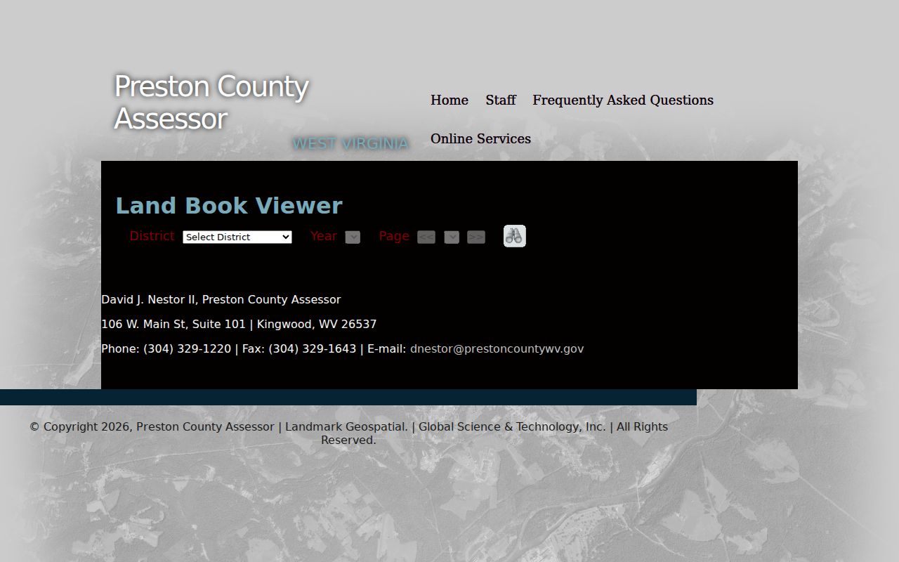
Use the scan as a cross-check. Rely on the recorded instrument for ownership and the legal description.
Preston County Archive Search for Masontown
The Preston County archive supports keyword, date, and category search. It can surface public notices, meeting materials, or historic references. These can add context to a Masontown property records question. It is not the land-record index. An archive result is not a deed, a tax account, or a definitive boundary record.
Try a specific place name, a railroad term, a street spelling, or a public-project phrase. Vary the wording if nothing comes back. The 2025 M&K Railroad exhibit and open-house mention is one example. It shows how a town-related item may be filed as a county document rather than under a parcel number. Save the title and date of any useful result. Then use it to sharpen a request to the office holding the underlying record.
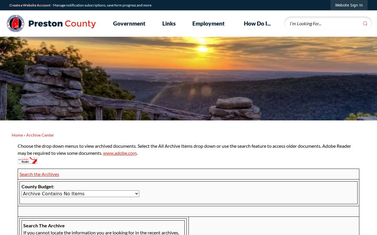
For ownership, tax, or assessment evidence, go back to the Clerk, Sheriff, or Assessor. An archive entry alone should not carry the weight.
Masontown Tax Class and Assessment Questions
A parcel's municipal position can affect its tax class. West Virginia's county guidance splits Class 3 property outside a municipality from Class 4 property inside one, whenever the property is not Class 2. Class 2 covers qualifying owner-occupied residential property, mobile homes, and farm property. Classification never rests on a postal label alone. A Masontown mailing address does not settle whether a parcel sits inside the municipal line.
Open the Assessor's account to inspect the class and valuation. Confirm the boundary if the classification looks off. The Sheriff's tax inquiry is a separate step for ticket status and payment history. A county assessment is a statutory value for taxation, not a market appraisal. Masontown property records may list the tax class and assessed value, but the municipal boundary decides which side of the divide a non-Class-2 parcel falls on. For the current schedule, exemptions, and appeal timing, consult the Preston County tax office and Assessor information directly. Then verify with the offices that maintain the records.
Masontown Property Record Limits
Masontown property records can show county ownership and assessment entries. They can also show tax and deed entries, plus municipal permits when a town file exists. A trailhead name or postal city proves neither a deed boundary nor town jurisdiction. A mapped line proves neither one either. An assessment is not a sale appraisal. A permit is not proof of title. Verify each record with the office that created or maintains it.
Lawful use. Use records for property history, transaction review, boundary questions, or civic research. Do not use names or addresses to stalk, harass, intimidate, or harm anyone.