
Preston County Parcel Map Sources
Preston County parcel maps do not live in one file. The Atlas viewer is the local GIS entry. mapWV adds a statewide parcel viewer. It is linked straight from assessment results. The Assessor posts scanned map cards. The County Clerk, meanwhile, holds the recorded plats and survey-related instruments. Atlas publishes no layer list, no tool guide, and no open-data download. The table therefore separates confirmed access points from display features a visitor must simply test in the viewer.
| Layer | What It Shows | Use |
|---|---|---|
| Atlas Geographic Data viewer | Preston County GIS viewer; layer and identify inventory not verified | Open for location research; do not assume a tool |
| mapWV Property Viewer | Statewide viewer linked from assessment results | Open a parcel after matching its assessment key |
| Assessor Map Cards | Scanned current and historical card records | Search by district, map, and parcel |
| Assessor Land Books | Year-based assessment book entries | Use District, Year, and Page controls |
| Recorded plats | Legal subdivision or survey map references | Request the Clerk’s recorded instrument |
The parcel key is the handoff. Compare the map against the Assessor's district, map, parcel, and sub-parcel fields. Then carry the legal description to the Clerk. The Sheriff's ticket lookup covers payment, not maps. Shape and lot order questions belong there too, since mapWV lists a flood-hazard filter while Atlas publishes no confirmed flood layer.
Preston County Parcel Viewer Limits
The Preston County Atlas Geographic Data viewer is the main local map route. The county publishes no guide to its buttons. So treat any parcel-identify, buffer, print, export, or aerial option as something to test in the viewer itself. Use whatever tools appear as visual aids. Record the map date or displayed source when the viewer shows one. Missing features have fallbacks. The Assessor's Street Name search and the statewide mapWV viewer both work as alternate locators. Start from a known address or parcel ID. Zoom to the tract and check neighboring roads, water, and community names against the written description. Copy any identifier exactly as displayed. If no parcel data appears, search by street in the assessment system and return with the known district and parcel. A map image only helps when the identity matches. The county records hub also lists an Addressing link. That path serves E911 and address-point questions, and the hub does not say whether it offers historic street corrections or downloadable points. It stays separate from parcel mapping either way. The mapWV Parcel Viewer is another route.
The state parcel viewer provides a map view linked from assessment research.
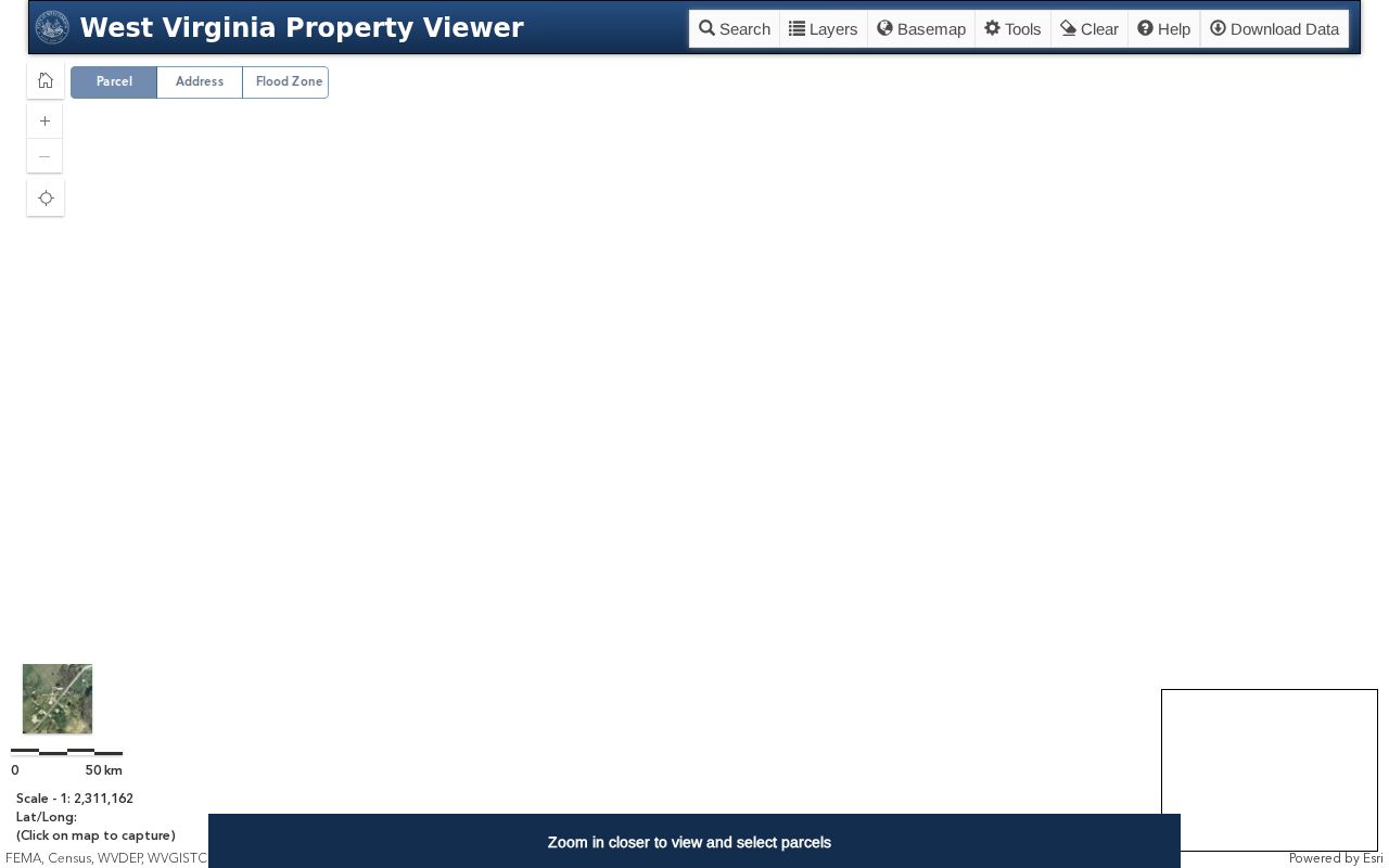
Use the viewer as a geographic cross-check. Then return to the Assessor's keyed record for the parcel components and to the Clerk for the legal description.
Locate a Preston County Parcel by Address
The GIS inventory stays unpublished. So start in the Assessor and treat the map as a second view. Search by Street Name, Owner Name, Full Parcel ID, or the district, map, parcel, and sub-parcel fields. The street control is a name field. It is not a confirmed street-number parser. Check each candidate against the situs and legal description. Then turn on the "Display GIS parcel ID" option in mapWV when offered, and open the linked Property Viewer or Atlas to compare the parcel location.
- Search the address or road name in the Preston Assessor or mapWV assessment portal.
- Compare district, map, parcel, sub-parcel, situs, and legal description before choosing a row.
- Open the linked map viewer and use only tools and layers that are visible in the live service.
- Carry the parcel key to a map card or recorded plat when lot shape or title description matters.
- Parcel key
- The assessment/GIS identifier; preserve County, District, Map, Parcel, and Sub-Parcel components as shown.
- Plat
- A recorded map that lays out lots or other land divisions.
- Lot and block
- A platted description naming the subdivision, lot, and block.
- Metes and bounds
- A land description using calls, bearings, monuments, or adjoining owners.
- Easement
- A recorded right to use land for a stated purpose; read the instrument for its scope.
Preston County Parcel Identifiers
The assessment search exposes County, District, Full Parcel ID, Map Number, Parcel, and Sub-Parcel as separate fields. The exact punctuation and padding conventions stay unpublished. Keep every component exactly as the portal displays it. A parcel number is only a lookup key, not a legal description and not a surveyor's boundary call. Older cards can carry a different map number. Write down both versions and ask the Assessor which historical record links them. Search the county and district first when known, then add the map and parcel components. Tracts without a reliable street number have other routes. mapWV accepts Owner Name, Mailing Address, Legal Description, Deed Book, and Page. Its optional display controls can add legal-description wording and a GIS parcel ID to results. A county address point helps locate a parcel. It will not resolve every rural boundary. Nor will it identify a municipal line. Keep the original string in your notes. If the map, assessment card, and deed describe different land, stop and resolve the mismatch with the Assessor and County Clerk.
Preston County Parcel Map Cards and Books
The Assessor's scanned card service covers both current and historical map cards. An older card can carry a past owner, acreage, sketch, district, classification, or map reference worth checking against a current search. The public entry states no year range. So note the card date before comparing it with the live tax roll. Search by district, map, and parcel when possible. A card is assessment history, nothing more. It is not a deed or a boundary survey. The Preston County Map Card Viewer is the entry point for the scans.
The Assessor’s online services describe current and historical scanned map cards.
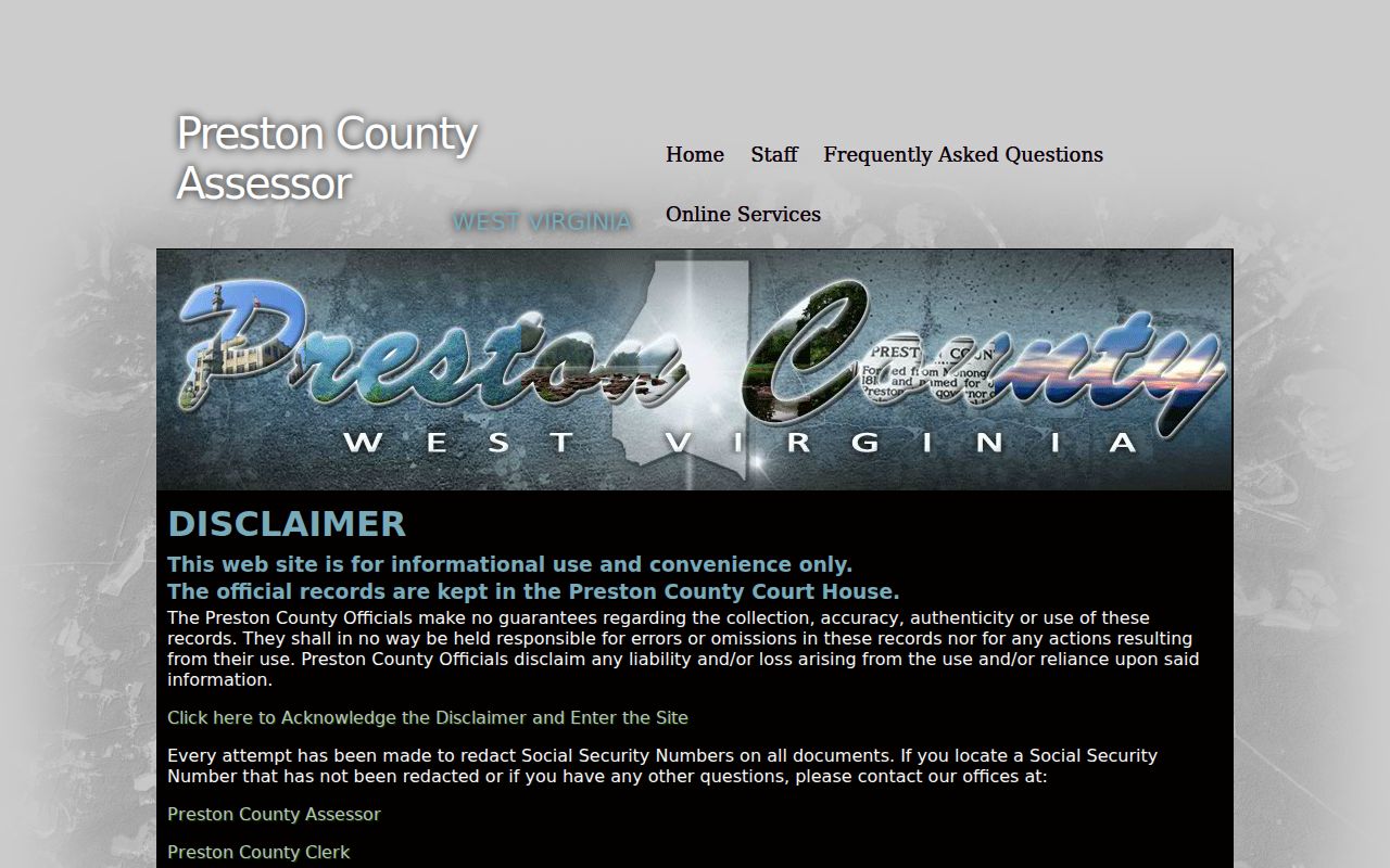
A historical card often unlocks the next key you need. It may point to a prior district. It may show an older map and parcel. Or it may name a former owner on the Preston County tax roll. Confirm any legal transfer separately. The Assessor Land Book Viewer adds a time-based view of assessment history. You can move through its District, Year, and Page controls. That view can recover an earlier owner or classification for a parcel. The office publishes no exact year coverage. Ask the Assessor when an online year is missing.
The land-book viewer lets readers choose a district, year, and page.
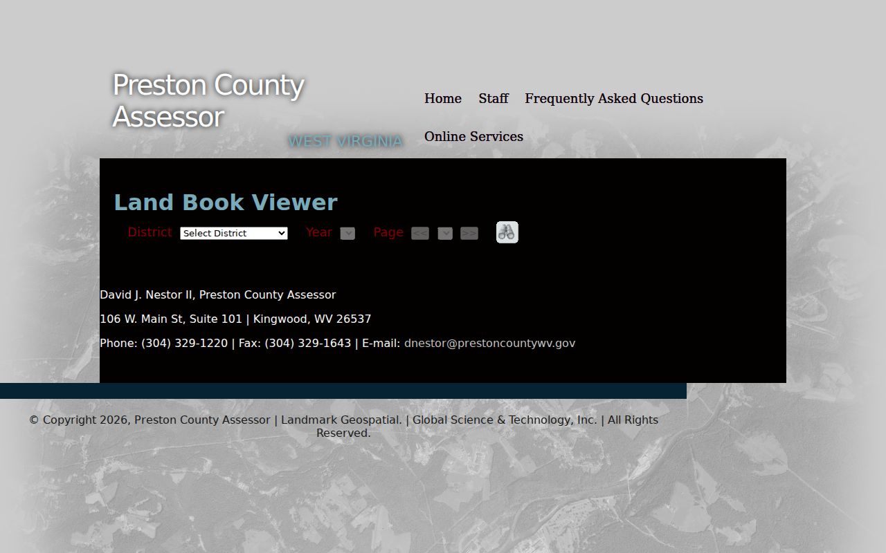
Keep the year selected alongside the book page. After a split, consolidation, or map change, Preston County records may describe the same parcel in different terms.
Preston County GIS Plats and Shapes
A recorded plat and a GIS polygon answer different questions. A subdivision plat fixes lots, blocks, easements, and streets exactly as recorded, and the Clerk keeps those land instruments. A GIS shape just locates a tax parcel. The Preston Atlas publishes no layer inventory. A line onscreen may not trace to the survey or plat you expect, so when a lot division matters, ask the Clerk for the book and page or the instrument that created it.
Lot-and-block descriptions cite a named subdivision plus a particular lot or block. Metes-and-bounds calls lean on bearings, monuments, streams, roads, and adjoining owners. Rural Preston County land still follows those calls. The online parcel polygon can still look clean. Deeds add surprises. A deed can reserve minerals, grant a right-of-way, or split a tract invisibly, so compare the recorded description against the assessor card and get boundary advice before a fence, structure, or sale depends on exact lines.
The Clerk’s index searches by parcel clue, party name, or legal description. No full document list is published. Neither is the earliest online year. Older plats may still need an in-person book search in Kingwood.
Preston County Town and Parcel Edges
A town name in the address field proves little. A Kingwood postal address can sit outside town. The Assessor separates some inside-municipality property from outside property through tax class instead. Terra Alta and Masontown addresses deserve the same check. Guessing from the post office is risky. The difference matters for a town permit, levy, or zoning record.
Historic place names shift too. Land around Terra Alta may appear as Portland, Cranberry Summit, or Cranberry in older Preston County material. Kingwood’s town-site timeline starts in 1797, though its official profile reports an 1815 founding. Masontown’s layout begins in 1856. Use those labels to track old references, but trust the deed and plat for parcel identity.
For land beside another tract, the Preston County neighbor lookup lays out a block-by-block route that works without assuming Atlas has an adjacency tool.
Preston County Parcel Map Limits
A mapped line is a locator, not legal proof. The Atlas viewer publishes no details on its accuracy, scale, layers, or parcel-selection tools. Treat it as a rough guide. The assessor’s parcel ID serves tax administration. The deed and plat supply the recorded legal description.
Not a survey. Use Preston County parcel maps to orient a search and compare records. Before construction, a sale, or a boundary dispute depends on a line, consult a licensed surveyor and the recorded description.
The county's online Addressing link does not describe its point layers. It also omits historic address correction files and exports. Ask the addressing custodian. Need a map or plat that is not online? Contact the Assessor or Clerk with the district, parcel, book and page, and copy type.
The broader Preston County property search carries the assessor field list. This map page stays focused on parcel geometry, historical cards, and legal descriptions.